BOROUGH GREEN QUARRYING HISTORY
HOME
.MIKE'S MUSINGS.
BITS'N BOBS
HISTORIC BITS
WEBSITES
.QUARRYING HISTORY.
IQW STORY
A-Z
SAINSBURY
JOCO PIT
LANDFILLS
BGGC Slide Show
CORONATION OAK
PLANTER
ROCK TAVERN
RED LION R'BOUT
BGSP
SMOKING GUN
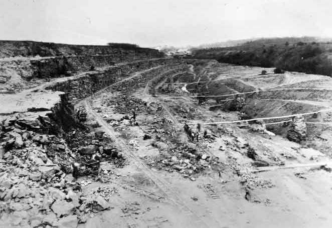
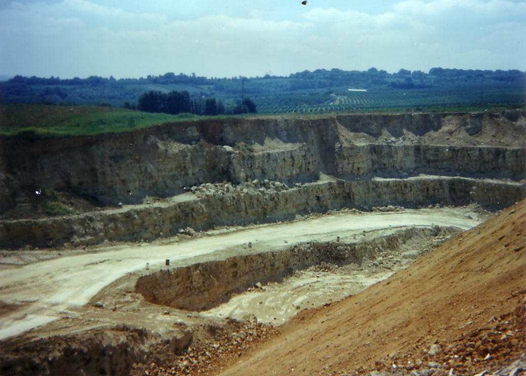
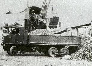
| click thumbnail below for larger picture
| click thumbnail below for larger picture |
|
|
click thumbnail below for larger picture |
|
|
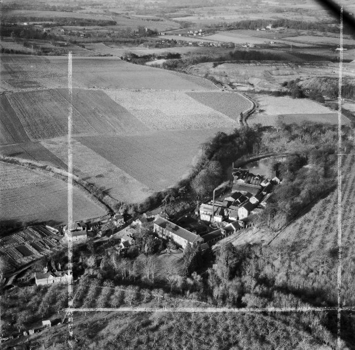
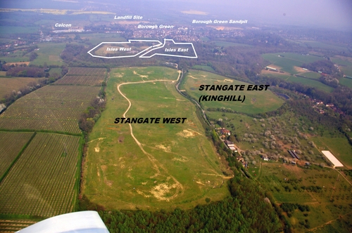
Aerial picture flying North towards BG.
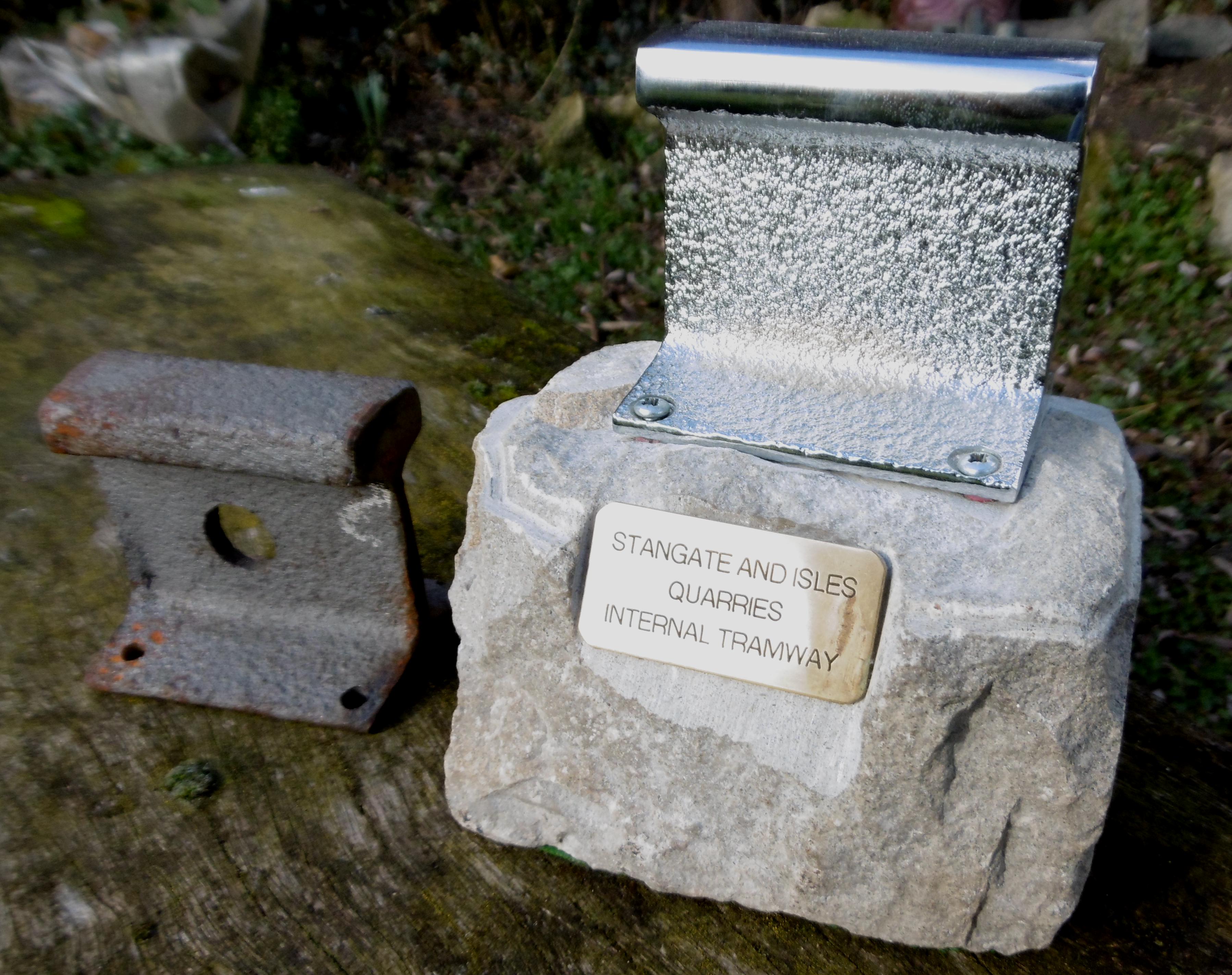
Below: Found a length ofthe old Internal Tramway rail, had it cut and mounted for the last few Quarryment: